HexCam
Information
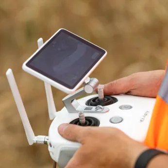
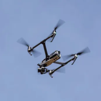
HexCam is a Norwich-based commercial drone operator carrying out UK-wide safe, flexible, cost-effective and non-disruptive aerial image and data capture for the Renewable Energy and Construction sectors.
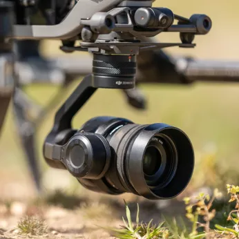
Our focus starts with the ‘deliverable’ needed. Our ‘hardware and software agnostic’ approach uses carefully-vetted partners to select the most appropriate method of capture and processing to deliver digestible data and high-quality imagery to our clients.
Our cloud-based survey, mapping and inspection data allow collaboration across large project teams to visualise and analyse up-to-date, independent, high-density survey data. Access is carefully managed, providing analysis tools appropriate to individual project team members. Data can be revisited multiple times and are easily compared with previous captures and design drawings.
One of our key projects since 2017 has been progress monitoring on the EA1 cable corridor. Our aerial imagery has helped the team track progress from a high viewpoint, providing video and pin-sharp stills of the 38km route. Reliable and independent high-density topographic survey data of the corridor facilitates objective discussions and decision-making at all stages of construction from site demarcation right through to landscape reinstatement.
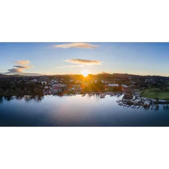
HexCam generates detailed 3D digital twins of structures. The results can be used collaboratively by multiple disciplines from roofing contractors and scaffolders to familiarise themselves with the condition of the asset through to architects and Facilities Management teams for planning maintenance and renovation work.We also produce, capture and edit beautiful and engaging videos or images for promotional marketing materials, recording history as it’s made.
We are one of the longest-established operators in the UK and safety is our highest priority. Working in a range of complex and sensitive environments, we have a zero accident track record. We can form collaborative project teams across the UK and Europe to deliver the highest quality of drone capture.